
The question
What housing stock and infrastructure exist in Imperial County’s colonias, what do they need, and how could investment be financed and sequenced?
What BEAR found
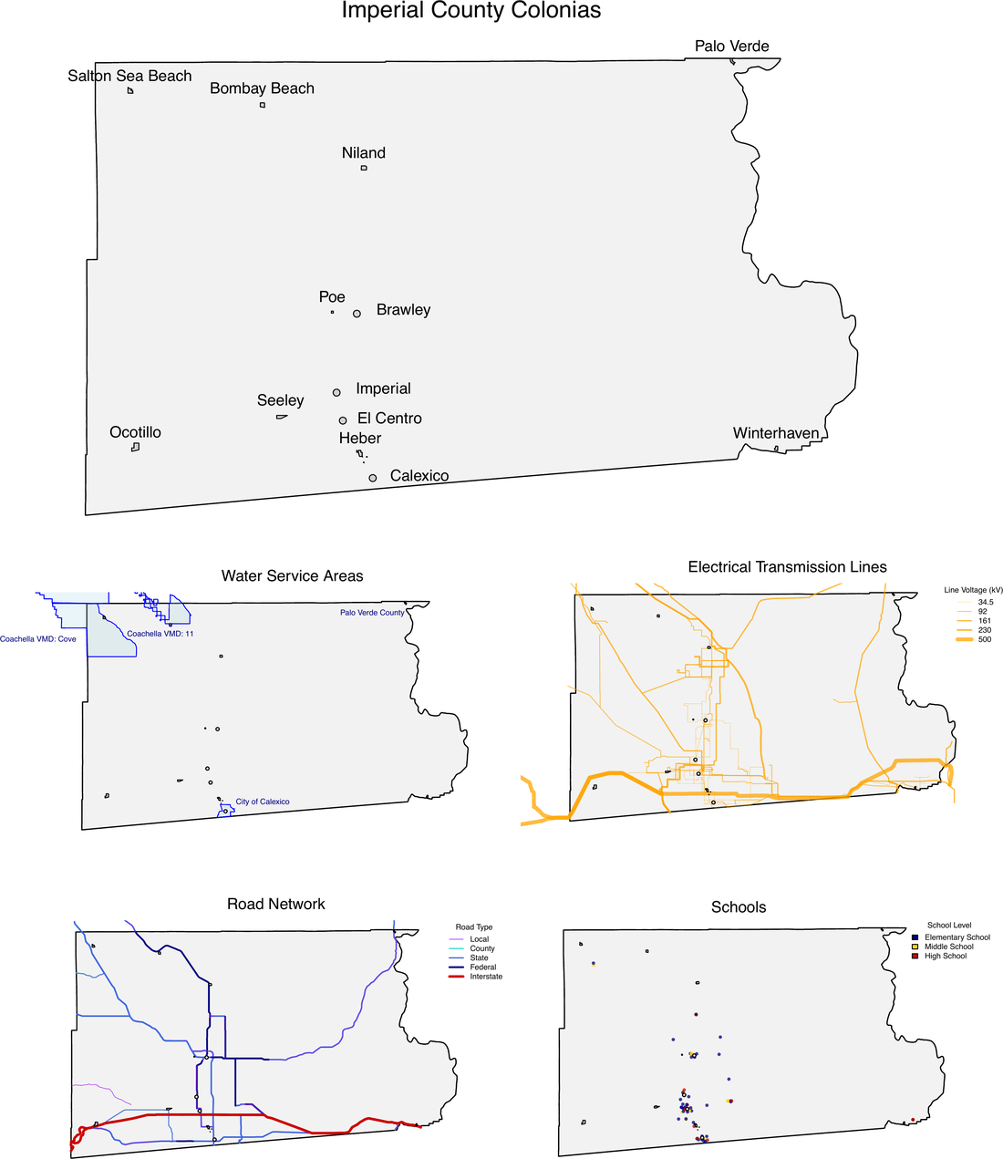
BEAR built an address-level database of the housing and infrastructure in each colonia, classifying every structure, including the mobile homes and RVs that housing counts often miss, alongside water, power and road networks. Each community was profiled in English and Spanish.
The housing mix differs sharply from one colonia to the next: roughly 70 percent trailers or mobile homes in Salton Sea Beach, against about 80 percent single-family homes in Winterhaven. Needs and financing have to be planned colonia by colonia, not by county average.
Method
Structure-level mapping from building footprints, street-level and satellite imagery and OpenStreetMap, merged with parcel, utility-service and road data in a single database, then scenario modeling with the BEAR model, IMPLAN, Census, CalEnviroScreen 4.0 and housing market data.
Team
David Roland-Holst, Sam Heft-Neal, Drew Behnke and Graciela Chong.
Public record
- Imperial County Colonias Infrastructure Assessment Plan (PDF)Presentation to SCAG’s Toolbox Tuesday forum, March 28, 2023
- REAP 1.0 county investments (PDF)SCAG, project listed under Imperial County
How to cite
Roland-Holst, D., Heft-Neal, S., Behnke, D., and Chong, G. (2023). Imperial County Colonias Infrastructure Assessment Plan. Presentation to the SCAG Toolbox Policy Research Forum, March 28, 2023. Project funded through SCAG REAP 1.0.